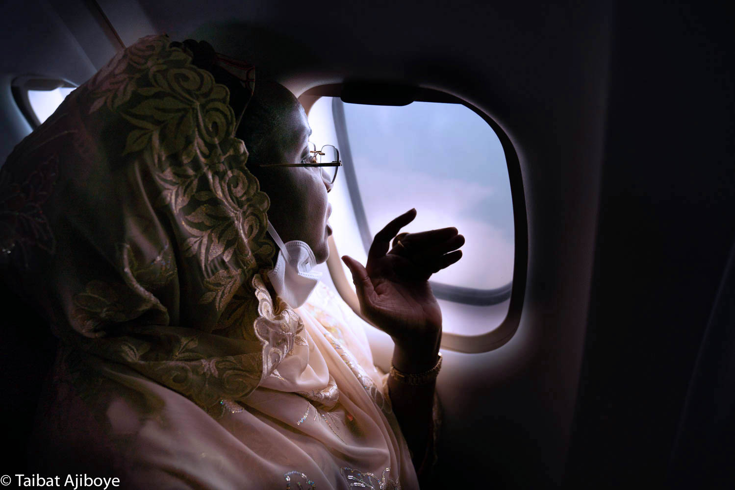
The Minister of Humanitarian Affairs, Disaster Management & Social Development, Sadiya Umar Farouq, has come under intense criticism for carrying out an assessment of the alleged flooded banks of the Kainji Dam on a plane.
The ministry’s Twitter handle on Thursday tweeted photos of the minister abroad the plane with the caption: “Yesterday, HM @Sadiya_farouq flew over Kainji dam for an aerial view and assessment of the impact of the flooded banks.”
But many Nigerians who reacted to the post said a plane was inappropriate for such a mission.
They insisted that a helicopter or drone could have done a better job, noting that a plane flies too high to be effective in surveillance or reconnaissance missions.
Meanwhile, Mainstream Energy Solutions Limited, operators of the Kainji Dam, denied that the dam burst its banks as reported in some quarters earlier in the week.
The company’s head of corporate communications, Olugbenga Adebola, said what happened at the facility was a routine water spillage exercise to regulate the water flow along River Niger.
See comments on the minister’s mission:
You’re doing physical assessment in a plane (not helicopter) at about 38,000 ft above sea level. Is Nigeria really this useless? https://t.co/S2ATET1XXw
— Rotimi Ibitoye (@Timi_Toye) September 17, 2020
How can you be taking aerial assessment from flying at over 30,000km above sea level & see the ground clearly from that distance in the sky??
— 일olu곱® (@iam_7even) September 17, 2020
At what feet can a private jet be that it'll be able to see the ground clearly? For that to even happen, it'll create a great risk of birds accident. Nobody will want to take that risk.
She should have just use an helicopter
— Kwabena💪 (@Sir_BenBoye) September 17, 2020
Aerial view from 30k feet? Na WA o 😂😂 we go school na habaaaa
— hydrochloric UCH 🕊🕊 (@WalkerSavvy8) September 17, 2020
This is sad. Are you telling Nigerians that your ministry cannot make use of unmanned motor vehicles (drones) for this your inspection on Kainji dam?… hmmm
Who did this to us?🙈🙈🙈🙈🙈
— Francis Fama (@francisfama) September 18, 2020
What about drone?
Drone tech & satellite 🛰 imagery will do the needful and give you comprehensive overview of the before and after information on the inundated areas.
Flying passenger aircraft at higher altitude will never give u results.
Assessment – evaluation – measurements
— Nasiru Idris (@Nasiruidrisu) September 17, 2020
Floods are measured by stream gauges that are installed in bodies of water. These gauges can constantly monitor water levels and send the data through a satellite or phone telemetry to be analyzed properly. Thank you
— The Savvy Spender (@abbyagbonghae) September 17, 2020
If they were even smart, they'll have given her a binoculars to pretend as if she's "seeing" something!😤
— Bishop Ukandu 🤔 (@BishopUkandu) September 17, 2020
She Flew over kainji dam for assessment without pictures of the dam??😂😂
— IaMkEme (@keme_44) September 17, 2020
From the plane window, l don't think she saw much.
Drones could have done better.
What do l know shaa
— Alex Omenye (@OmenyeIkechukwu) September 17, 2020
Read Also: Yes, Nigeria Is Collapsing Forward – By Femi Adesina

